
Maps of Peru Backpacking Tour, Nov/Dec 2013

|
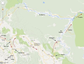
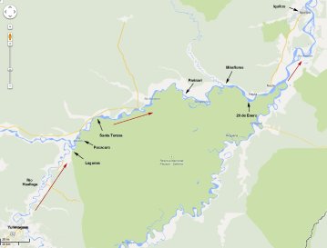
| Most of the maps on this page have been created by using "Google Maps" to select a region of interest, then taking a screenshot. This screenshot was then annotated using the program, xfig. For the more remote areas which we visited, namely the river trip from Yurimaguas to Iquitos and the bus trip from Huancavelica to Pisco, "Google Maps" is unfortunately still rather underdeveloped. Sorry about this. Our recommended printed map is the World Mapping Project's map of Peru with scale 1:1.5 million. There are some examples from this map together with a link to the World Mapping Project's Web page below. |
| Click on any of the thumbnail maps below to see the full jpeg file in a separate window. |
|
|
|
|
|
|
|
|
|
|
| Chachapoyas - Tarapoto - Yurimaguas |
|
| Yurimaguas to Iquitos |
|
|
|
|
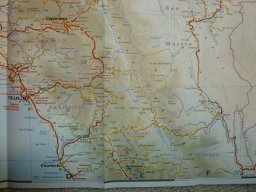
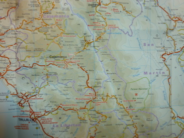
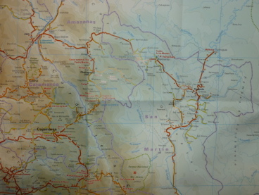
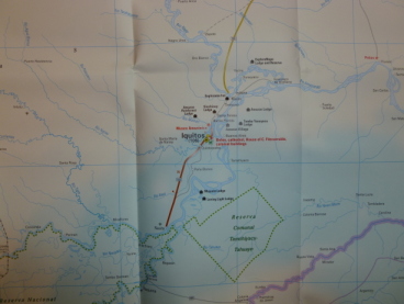
| Before leaving for Peru, I took some photos of our World Mapping Project's map of Peru with the thought that they might be easier to use than the printed map, and they might save wear and tear of the printed map. As it turned out, we lost the printed map in Tarapoto, so these photos turned out to be even more useful than expected. |
| There are 5 of them, unfortunately not covering entirely the area that we travelled, but I provide links to them here since they show the topology of the country better than the Google maps. The printed map can be found in a good book shop, or ordered from the Reise Know-How Verlag's Web Page (see here), or from Amazon. The map is quite adequate for travel by public transport in Peru, if not always totally accurate. For example, Gocta Falls are shown on the wrong side of the main road! |
| Note: Our advice would be to buy it before travelling to Peru. We couldn't find a copy anywhere inside the country itself! |
| Again, clicking on any of the following thumbnails will show the full jpeg file in a separate window. |
| Lima - Barranca - Huancayo |

|
| Trujillo |
|
| Trujillo - Chachapoyas |
|
| Jaén - Chachapoyas - Tarapoto - Yurimaguas |
|
| Iquitos |
|